Fall Driving Tours
Fall Driving Tours
The mountain forests in our part of Pennsylvania are priceless natural wonders. They are renowned for their inspiring beauty, especially in the fall as the colors of the leaves turn orange, mustard and scarlet. As the dappled greens of summer wane to reveal the dazzling oranges, crimsons and golds of autumn, the woodlands of Pennsylvania show their true colors. When you take into consideration Cook Forest, the Allegheny National Forest, and the several state parks and natural areas located in our part of the state, the trees outnumber the people easily by a thousand to one. For folks on a fall leaf drive, that means Mother Nature’s crazy quilt of color can be enjoyed around almost every bend in the road wherever you go. We have put together a few recommended routes for your convenience along with a number of our favorite stops along the way. Enjoy!
Fantastic Forests (85 miles, 2 hours and 17 minutes)
This ride routes you alongside the picturesque Allegheny and Clarion Rivers, both protected by the National Wild and Scenic Rivers System, as well as through the unique woodlands of Cook Forest State Park and Allegheny National Forest.
Starting at the intersection of Route 36 and River Road in Cooksburg, take River Road for 8.3 miles along the banks of the Clarion River to the intersection with Route 899.
Take a sharp left onto Route 899 and ride north for 8.9 miles until you reach Route 66.
Turn right onto Route 66, and continue through Marienville for 2.8 miles. The Allegheny National Forest Ranger Station will be on your left. Stop in to learn about the ANF and stretch your legs.
As you leave the ANF Ranger Station, make a left on Route 66 and ride northeast for 4.0 miles.
Turn left on Blue Jay Creek Road, and follow this road for 5.4 miles. After you cross Tionesta Creek, make a left onto Route 666.
Ride Route 666, “The Devil’s Highway,” across the Allegheny National Forest for 24.6 miles through spectacular mountain vistas to East Hickory.
At the intersection of Route 666 and U.S. 62 in East Hickory, make a left on U.S. 62 and ride south for 7.2 miles. Enjoy scenic views of the Allegheny River on your way to Tionesta.
Continue straight on Route 36 for 0.3 miles past the turnoff for the U.S. 62 bridge and turn right on Highland Street. Travel 0.1 mile and turn left onto Lighthouse Island. Park for awhile and walk around Lighthouse Island, home of the Sherman Memorial Lighthouse, a Tionesta icon and a curious attraction in landlocked western Pennsylvania.
Head back out to Highland Street and turn right on Route 36. Continue for 19.4 miles through Leeper back to Cook Forest State Park.
Turn right onto Fire Tower Road and ride for 1.5 miles to the trailhead for Seneca Point and the Fire Tower. These two attractions deep in the woods offer wide views of the park and the Clarion River Valley you won’t soon forget.
Jump back in your vehicle and continue along the loop for 1.3 miles back to Route 36.
Turn right on Route 36 and ride for 0.9 miles to return to your starting point at the entrance to Cook Forest State Park. The old-growth forest it contains features some of the tallest trees in the northeastern United States, a wide range of trails for hikers of all skill levels, plenty of picnic areas, and a craft market and summer theater, so you’ll find lots to see and do.
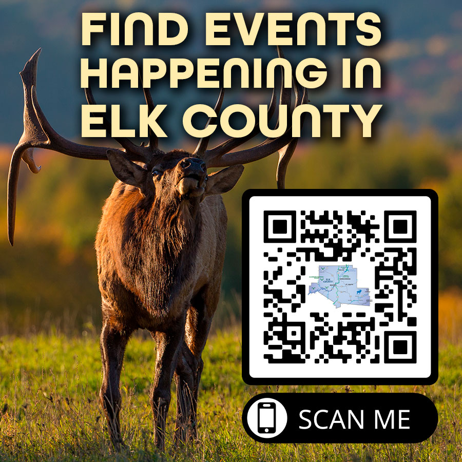
Elk Country (91.1 miles, 2 hours and 11 minutes)
This drive offers spectacular mountains with stunning views in the heart of Pennsylvania’s Wild Elk Country. The Quehanna Wild Area is a destination in and of itself. Wykoff Run Road is one of the top-rated motorcycle rides in Pennsylvania, and it features amazing sweeps and turns following a photogenic mountain stream with pull-offs where you can see several beautiful waterfalls. It’s worth taking in the incredible view from Top of the World.
Start at the Elk Country Visitor Center (use 950 Winslow Hill Road, Benezette, in your GPS), and follow Homestead Drive for 0.6 miles out to Winslow Hill Road.
Turn left on Winslow Hill Road and ride 0.9 miles down the hill to the Benezette Hotel, then turn left and continue one block to Route 555.
Turn right on Route 555 and ride for 2.9 miles to the intersection with Route 2004/Quehanna Highway.
Turn left on Quehanna Highway and continue for 9.0 miles to the intersection with Losey Road. Pull off at the parking area on your left and stretch your legs for a few minutes with a short walk into the Marion Brooks Natural Area section of the Quehanna Wild Area. The woods adjacent to the parking area include a photogenic stand of white birch trees, one of the largest and most accessible in the state.
Get back in your car or truck and turn left to continue along Quehanna Highway for 5.4 miles.
Take a sharp left turn at the intersection with Route 2001/Wykoff Run Road, and enjoy the views along this scenic road for 9.9 miles as you continue to Sinnemahoning.
Wykoff Run Road ends at Route 120 in Sinnemahoning. At this intersection, turn left onto Route 120 and ride for 20.7 miles to Emporium.
At the Y intersection with Route 155, bear left to continue on Route 120 for 20.1 miles through Emporium to St. Marys. In Emporium, take note of the Cameron County Canvas murals, which illustrate people who played significant roles in town or represented it honorably through their military service.
When you reach St. Marys, turn right on South Michael Street to stay on Route 120. In 0.1 mile, take a sharp left turn as you follow the signs for Route 120 West/Route 255 South.
Continue on Route 120 West/Route 255 South for 0.2 miles to the intersection with State Street. Stay straight to continue on Route 255, and follow this road for 8.6 miles.
Turn left at the intersection with Caledonia Road and ride for 3.7 miles to Route 555.
Turn left on Route 555 and head back to Benezette to watch the elk at sunset from Winslow Hill. To get there, take Route 555 for 6.7 miles to the sign for the Elk Country Visitor Center and turn left, then right at the Benezette Hotel on Winslow Hill Road. Ride for 2.1 miles and turn left onto Dewey Road, then take an immediate right into the parking lot for the Winslow Hill Overlook.
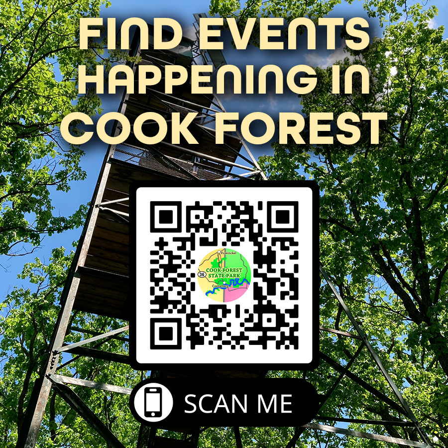
River Road – Clarion River Driving Tour
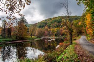
Sometimes we just feel the need to take a drive to unplug and think. For many a scenic drive along the Clarion River between Cook Forest and Ridgway is the perfect fall drive.
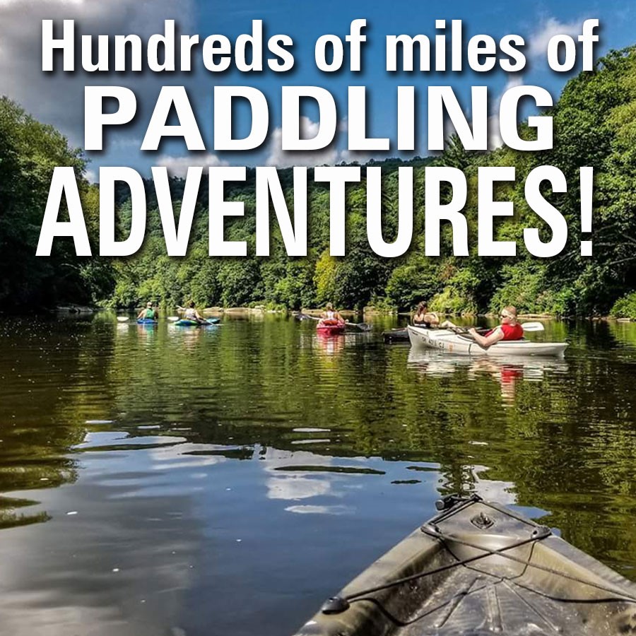
Start your drive on River Road by taking Route 36 to Cook Forest State Park. Immediately as you turn on to River Road, you will cross over Tom’s Run which features a children’s fishing pond that is stocked with trout. It is open to fishing for children 15 and younger and individuals with special needs. As you head upriver, Cook Forest State Park offers picnic tables and a pavilion along the river. This gentle section is popular for family recreation including kayaking, canoeing, and tubing with easy river access and rocky outcrops that provide good fishing and sunbathing spots.
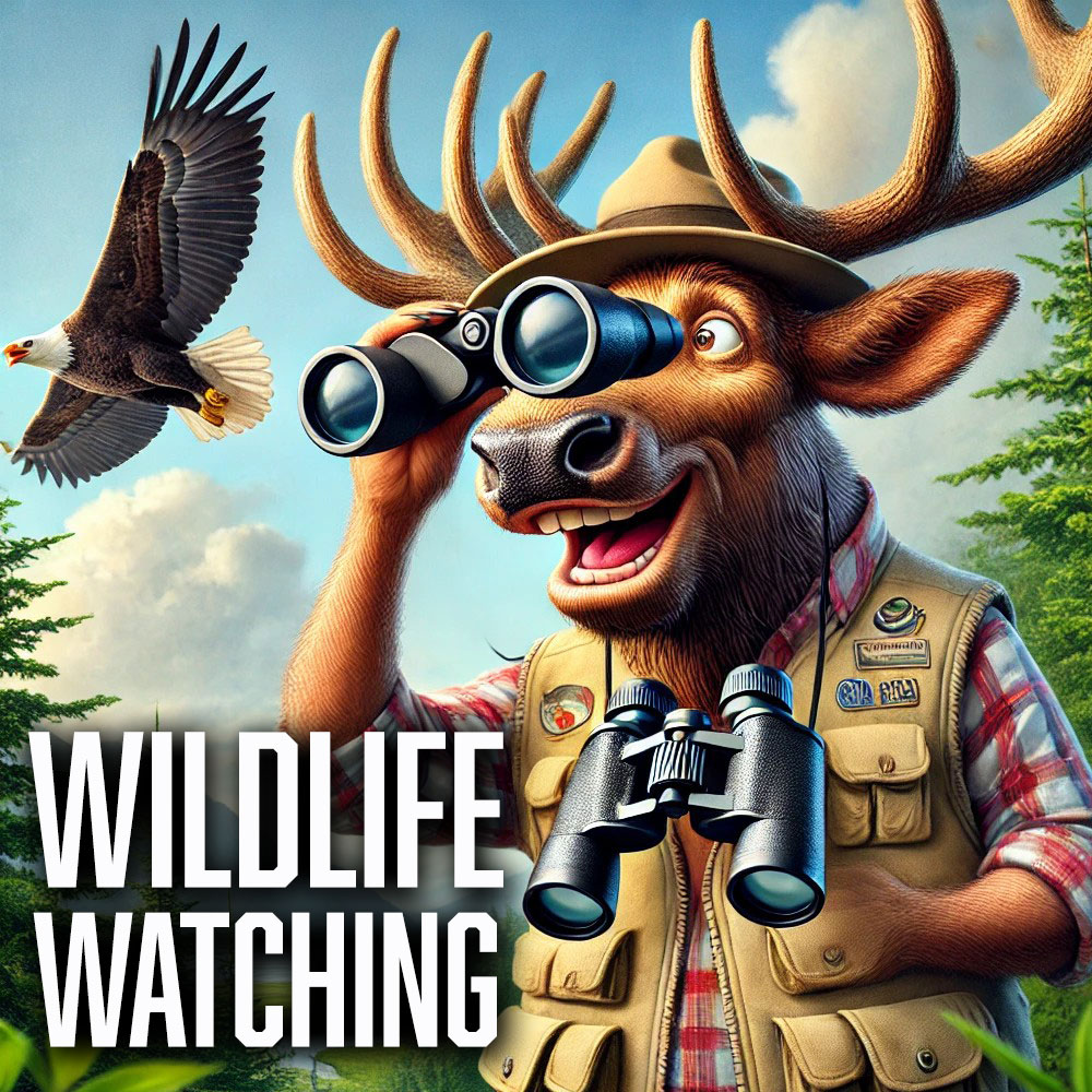
As you travel along River Road make sure to look for the abundant wildlife found along the river. Bringing a pair of binoculars along on your drive is strongly recommended. Eagles and osprey can often be seen flying overhead or perched in the trees along the shoreline hunting fish. The Clarion River supports a healthy population of River Otters which are one the most elusive aquatic mammals in Pennsylvania. Otters are extremely curious and playful and often slide on ice or snow, shoot down slick muddy banks into creeks, play with food, sticks and stones, and wrestle each other. Few people are lucky enough to see otters in the wild, but those who do, rarely forget the experience. Geese and ducks are often seen cruising on the Clarion as well. Whitetail deer, wild turkey, black bear, and many other animals are often seen in woodlands along the river.
River Road intersects with Route 899 near the Barnett Canoe Launch just south of Clarington. Take a right on Route 899 towards Clarington. At Clarington take Belltown Road/River Road. As you travel on Belltown Road you will see Clear Creek State Park across the river. Clear Creek is more than 1,900 acres with camping, rustic cabins, and Clarion River access for fishing and paddling. Further upriver you will cross Millstone Creek that is popular with trout fishermen. The next landmark on your drive will be the village of Belltown where Rout 949 crosses the river. Continue driving on River Road towards the town of Hallton. In Hallton you will cross Spring Creek which is another popular trout stream. After crossing the Spring Creek Bridge, make a right on Hallton/Spring Creek Road. At the newly constructed Irwin Run canoe launch, Spring Creek Road veers away from the river through the scenic Elk County countryside. From Spring Creek Road make a left on to the Arroyo-Portland Road to return to the river. This will take you over the Arroyo Bridge and eventually to the intersection of Route 494. Take a left on Route 944 towards Ridgway. The next landmark will be the Portland Mills canoe launch just below the mouth of Little Toby Creek. Continue along Route 949 until you reach the town of Ridgway.
The drive along the Clarion River is beautiful in any season. The bright colors of autumn can be spectacular if you are able to time your drive during peak fall foliage. Ice jams and a blanket of fresh snow can make the winter landscape stunning. Otters are also easier to see against the winter backdrop. Flowers and excellent fishing greet the spring traveler, and summer is a special time along the river.
Find more great places to explore online at VisitPAGO.com